Saved sensor position
Use phone location when you choose, or drag the pin manually for field accuracy.
GrowGuard lets you save each sensor location, adjust the pin manually, switch between standard and satellite map layers, view online status, and open navigation to the selected sensor.
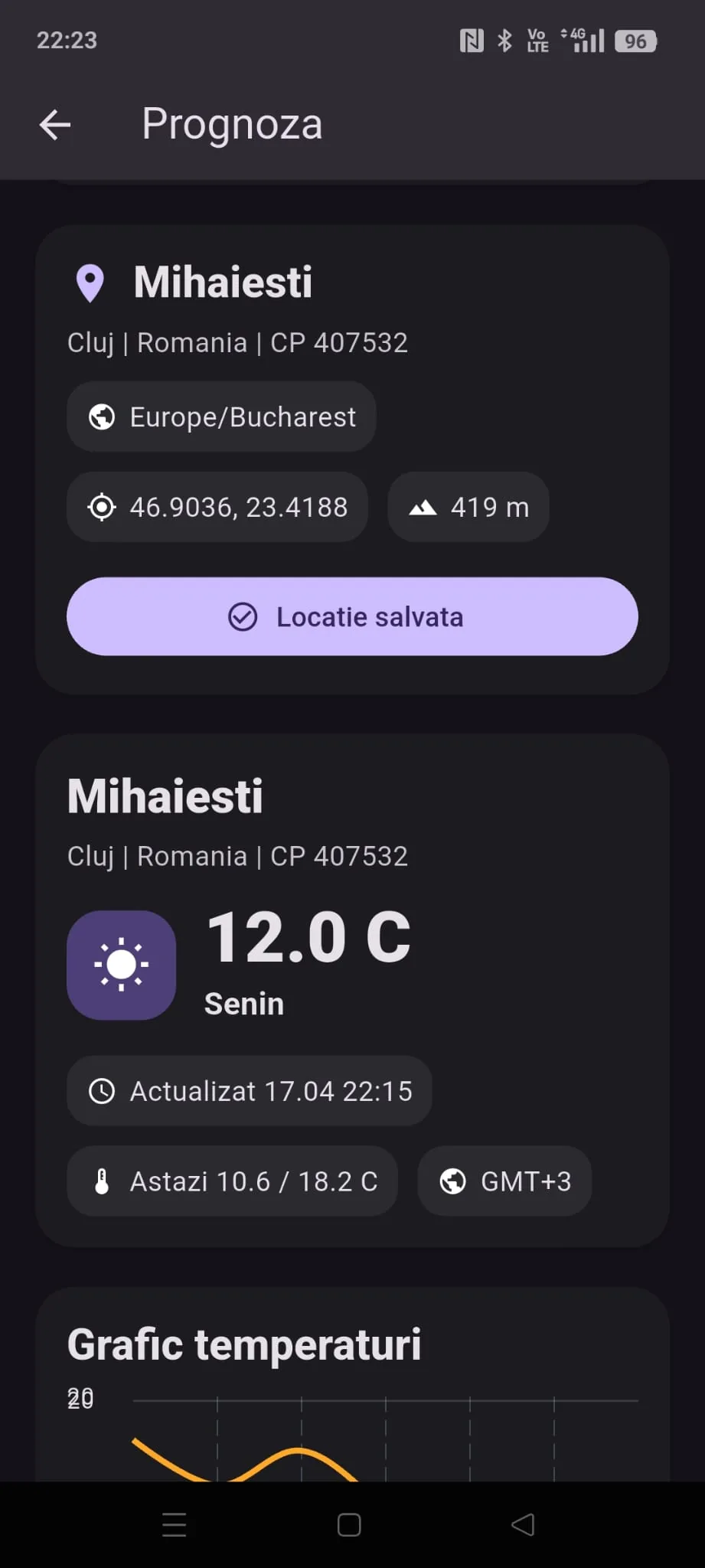
Use phone location when you choose, or drag the pin manually for field accuracy.
See only the sensors placed on the map, with name, values, and status.
Clear status dots show which points are transmitting and which need attention.
Open a sensor to see readings and launch Apple Maps or Google Maps navigation.
Pick an available device from the account.
Use phone geolocation or manually adjust the pin.
Review readings and open your preferred map app when you need to reach the sensor.
Download GrowGuard and organize field measurement points.
No. Location is used only when the user explicitly saves or adjusts a sensor position.
Yes, the sensor map includes standard and satellite layers.